Map
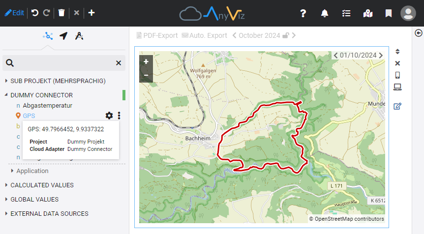
The map vizual enables recorded position data to be displayed as routes on the map. This is done by dragging and dropping a position tag into a view and selecting the map.
Cloud adapter configuration
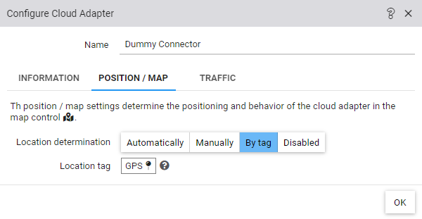
Position data contained in a tag of type String can be used for the position detection of a cloud adapters. The configuration is done in the settings of the Cloud Adapter under Position / Map. The string tag is then recognized as a position tag in the object tree.

Historical analysis
The recorded values of a position tag are shown as a route. All positions in the selected time period are displayed. If individual routes are to be displayed separately, it is important that an invalid value has been recorded between the position data of the individual routes (e.g. an empty string).
